- RED ROADS
- OUTDOOR EDUCATION
- Camp Kitchen
- Gear
- Furry Friends
- Sleep
- Merch
- Clearance
- View All
- Sign in
Hema Australia Handy Map
$11.95
The Australia Handy Map is a foldable, compact Australian map that is perfect as a journey planner or reference tool.
It shows national parks and major road networks with distances for planning, along with major city CBD maps for Brisbane, Melbourne, Sydney, Canberra, Darwin, Adelaide, Perth and Hobart on the reverse side, as well as a distance chart and a placename index for practical use.
Key Features
- Hema's iconic map of Australia
- Capital city maps
- National parks
- Road distances
- Indigenous lands
- Distance grid
- Fully indexed
Key Specifications
Edition: 12th
Publication Date: 01/10/22
Scale: 1:6,500,000
Folded size (WxHxD): 125mm x 250mm x 3mm
Flat size (WxH): 625mm x 750mm
Weight: 0.06kgs
Collections: HEMA, Navigation
Related Items
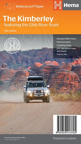
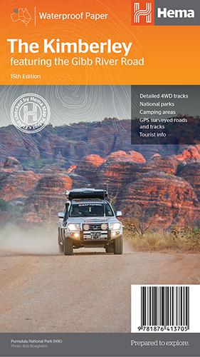
Hema The Kimberley Map
$15.95
Save $17.85 with the Kimberley 4WD Pack! A regional map of the Kimberley that features the iconic Gibb River Road. On the reverse are inset maps...
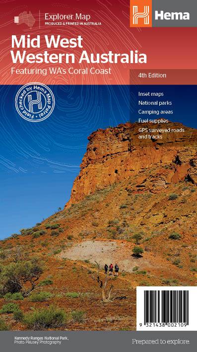
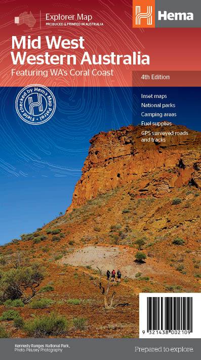
View full product detailsHema Mid West Western Australia Map
$15.95
Hema Mid West Western Australia Map Mapping of Mid West Western Australia (WA) that has camping areas, national parks, fuel supplies and facility symbols marked on...
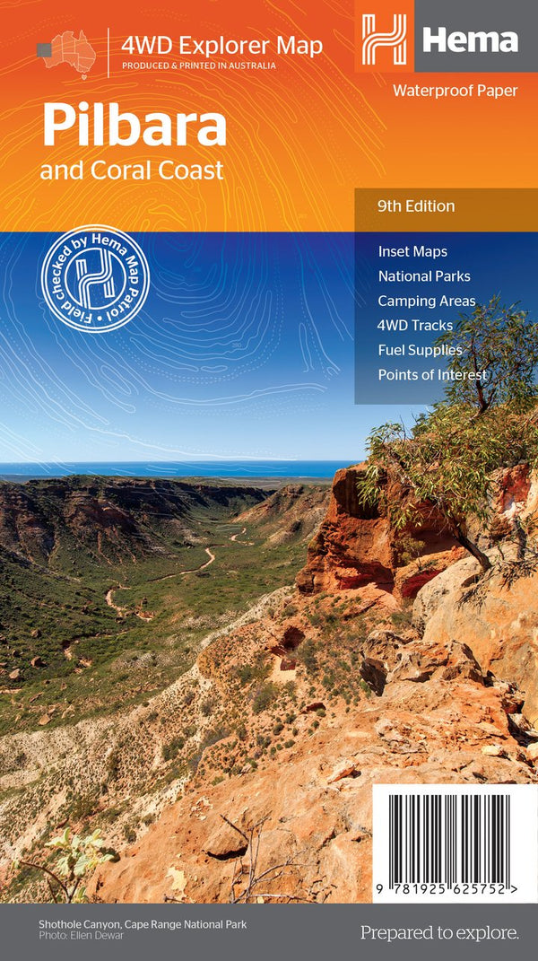
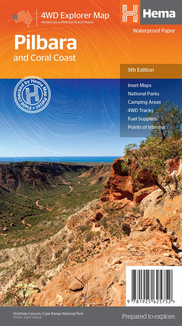
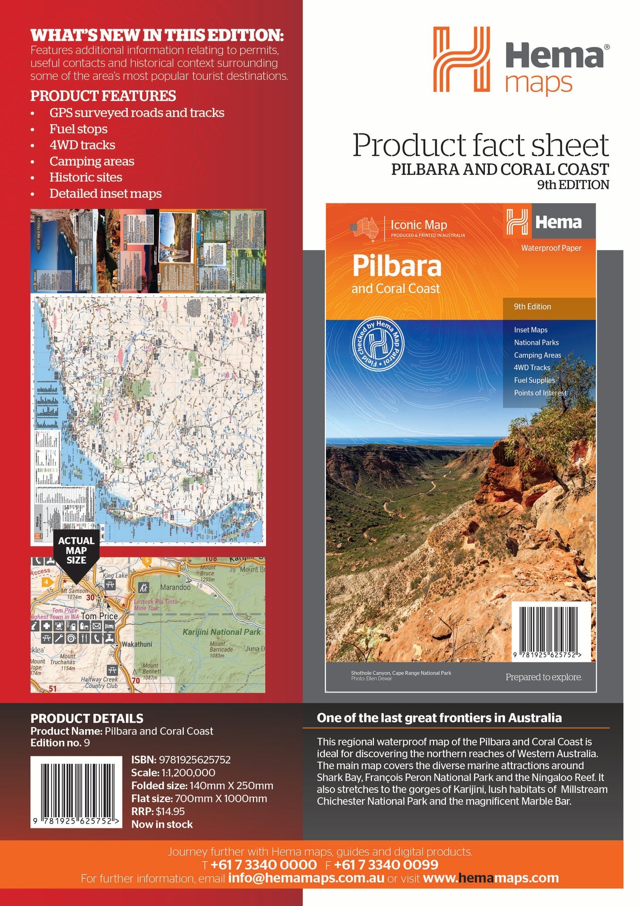
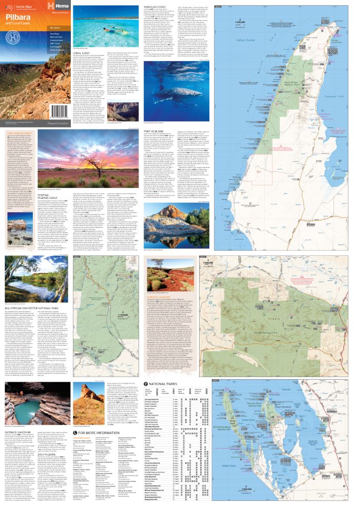
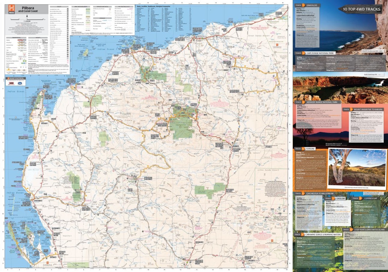
View full product detailsHema Pilbara & Coral Coast Map
$15.95
A regional map of the Pilbara and the Coral Coast (1:1,250,000), with inset maps and comprehensive travel information on specific regions on the opposite side. The inset...
View full product detailsFollow
(08) 9344 6252
Shop 9/58 Erindale Rd, Balcatta WA 6021
(We are in the same strip of shops as Altronics, Bridgestone, Down Range, Framers Point, NextBike, Pack-n-Send, Solomons Carpets, WA Florists)
Sign up to hear all the latest news, new products, gift ideas and what's going on at Go Camping & Overlanding!
P.S Don't worry we won't bombard you - ain't nobody got time for that!


