
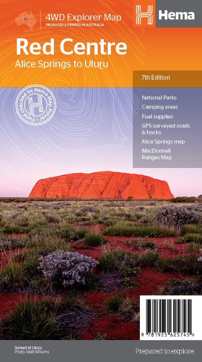
Hema The Red Centre Map
$15.95
The Red Centre Map - 7th Edition
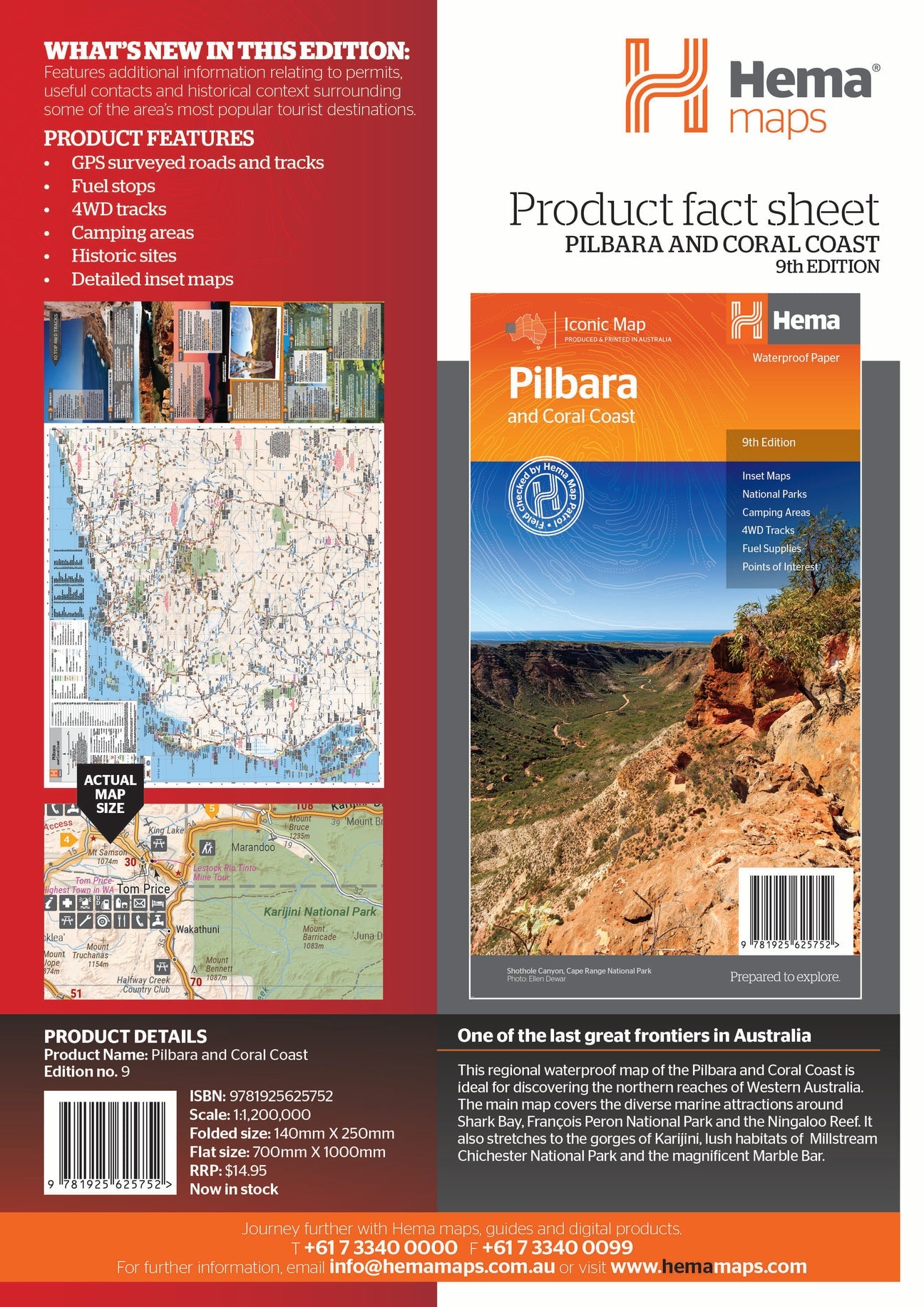
This regional waterproof map of the Red Centre is ideal for discovering the quintessentially Australian landscape of at the heat of the country. The main map covers the area around Alice Springs, including Uluru, Kata Tjuta, West MacDonnell Range and Watarrka National Park.
It also features additional information relating to permits, useful contacts and historical context surrounding some of the area's most popular tourist destinations.
PRODUCT FEATURES
- GPS surveyed tracks
- Fuel stops
- 4WD tracks
- Camping areas
- Historic sites
- Detailed inset maps
WHAT'S NEW IN THIS EDITION:
- New edition, new layout
- New cartographic map specifications
Related Items

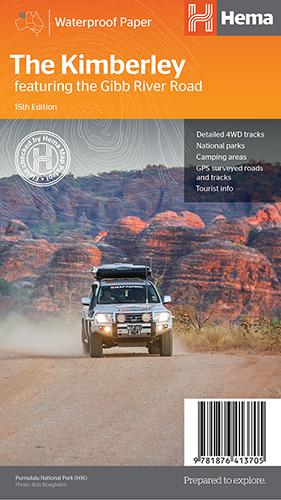
Hema The Kimberley Map
$15.95
Save $17.85 with the Kimberley 4WD Pack! A regional map of the Kimberley that features the iconic Gibb River Road. On the reverse are inset maps...
View full product details
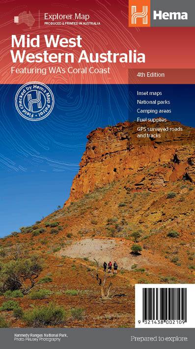
Hema Mid West Western Australia Map
$15.95
Hema Mid West Western Australia Map Mapping of Mid West Western Australia (WA) that has camping areas, national parks, fuel supplies and facility symbols marked on...
View full product details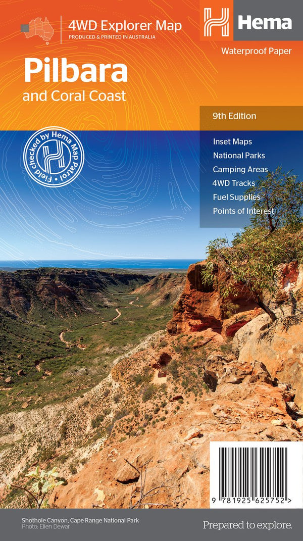

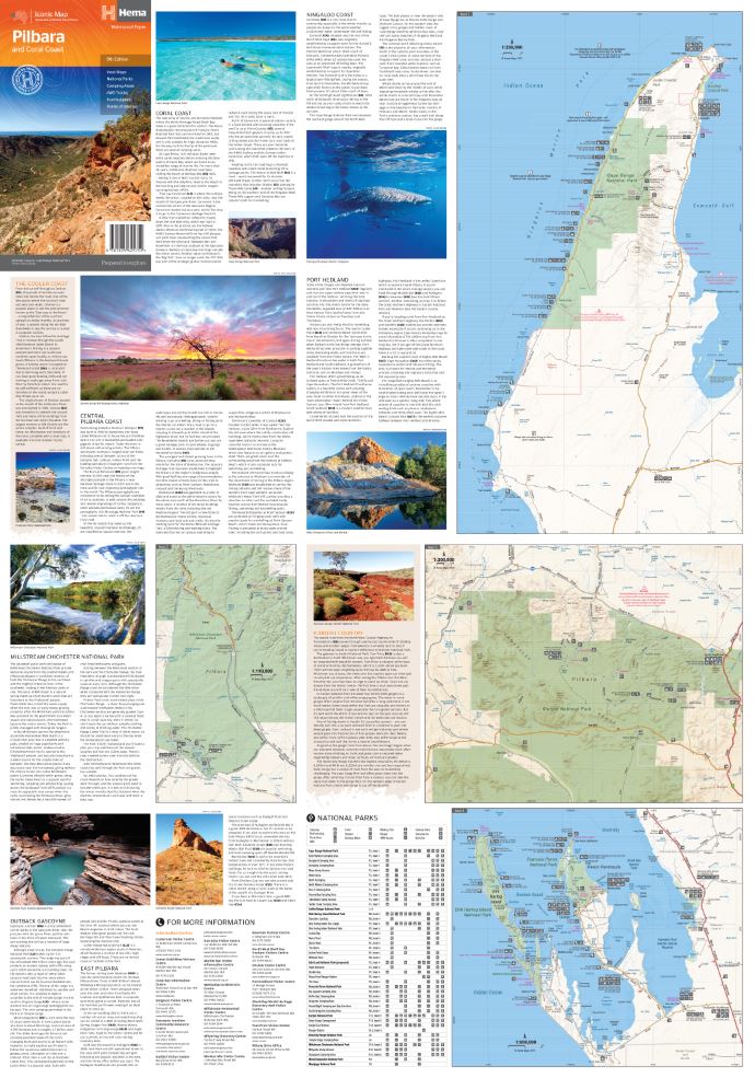
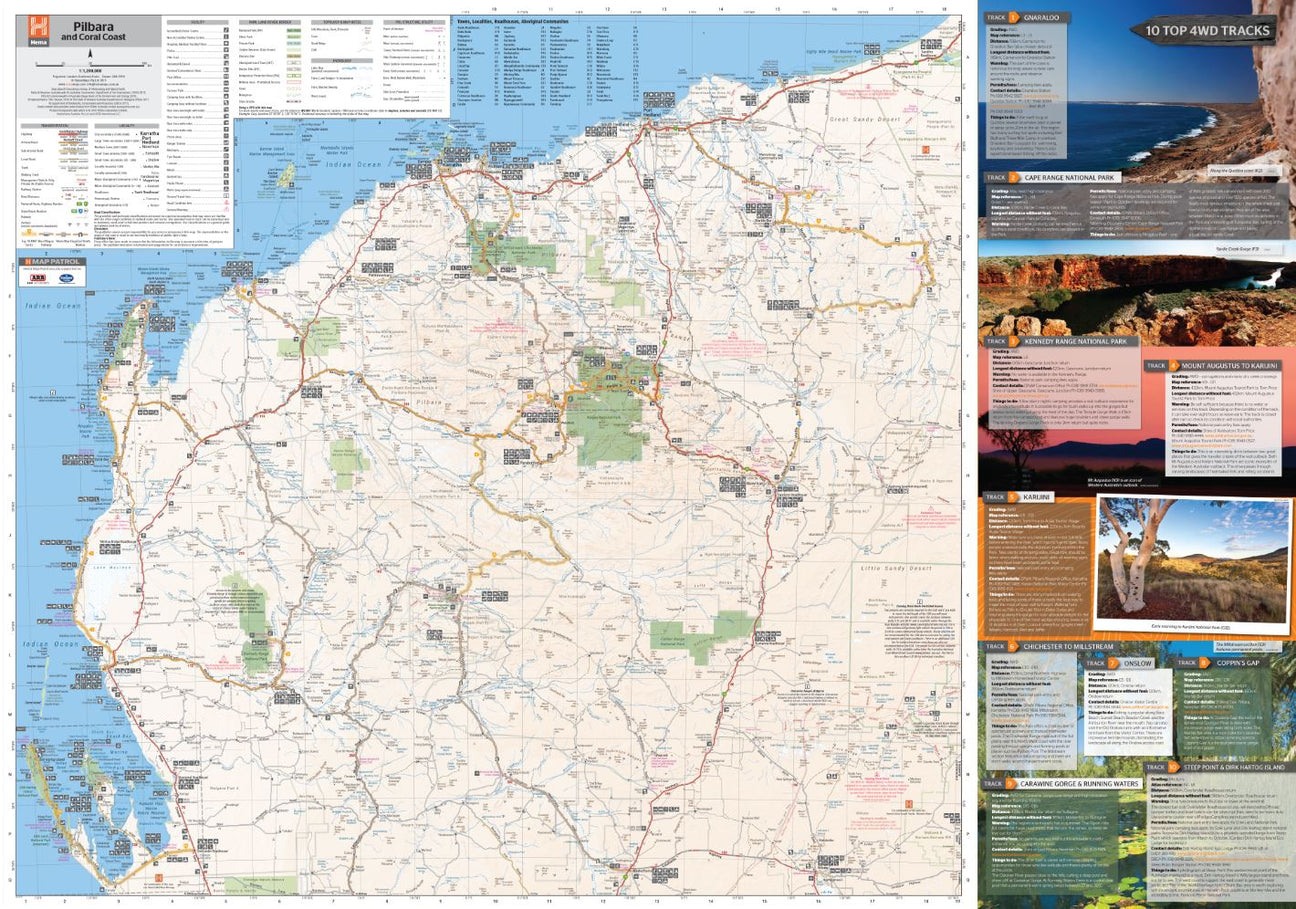
Hema Pilbara & Coral Coast Map
$15.95
A regional map of the Pilbara and the Coral Coast (1:1,250,000), with inset maps and comprehensive travel information on specific regions on the opposite side. The inset...
View full product details