- RED ROADS
- OUTDOOR EDUCATION
- Camp Kitchen
- Gear
- Furry Friends
- Sleep
- Merch
- Clearance
- View All
- Sign in
Hema Tasmania Atlas & Guide
$49.95
This first edition Tasmania Atlas & Guide contains 40 atlas pages at a large scale of 1:150 000 in a stunning cartographic style. The guide features the Top 15 4WD Trips for Tassie, which has been field checked by Hema's Map Patrol. Also included is an introduction to the region, as well as information sections on planning the trip and what to see and do. There are detailed touring sections on the distinct regions of Tasmania. The Top 15 4WD Trips are broken into their respective localities, with each trip containing comprehensive trip information including gradings, distances, relevant travel information and drive coverage from start to finish.
Key Features
- 40 atlas pages at a scale of 1:150 000
- Top 15 4WD Trips
- Top 5 Walking tracks
- Best campsites
- Adventure activities
- Trip planning tips
Key Specifications
Edition: 2nd
Publication Date: 01/04/23
Number of Pages: 229
Height: 297mm
Width: 215mm
Depth: 15mm
Weight: 0.955kg
Collections: HEMA, Navigation
Related Items
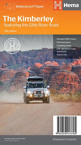
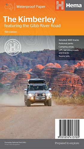
Hema The Kimberley Map
$15.95
Save $17.85 with the Kimberley 4WD Pack! A regional map of the Kimberley that features the iconic Gibb River Road. On the reverse are inset maps...
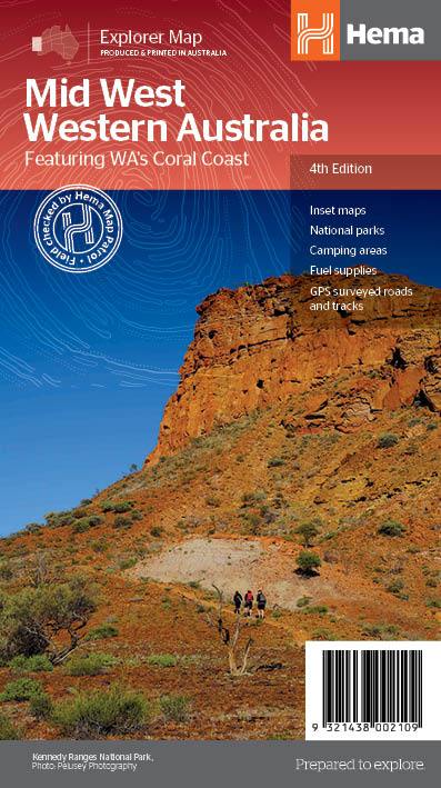
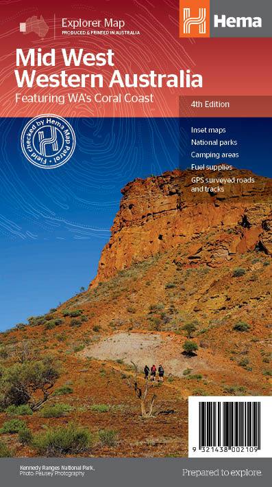
View full product detailsHema Mid West Western Australia Map
$15.95
Hema Mid West Western Australia Map Mapping of Mid West Western Australia (WA) that has camping areas, national parks, fuel supplies and facility symbols marked on...
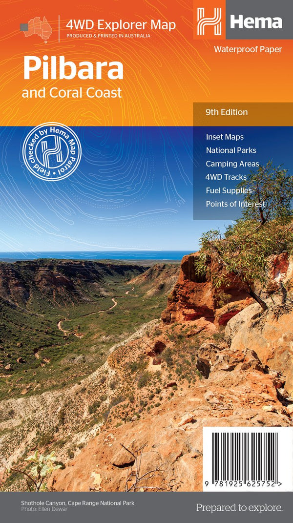
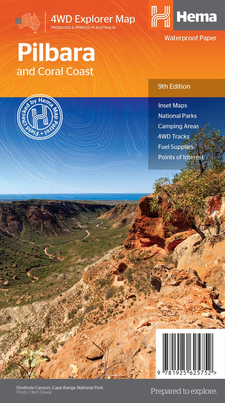
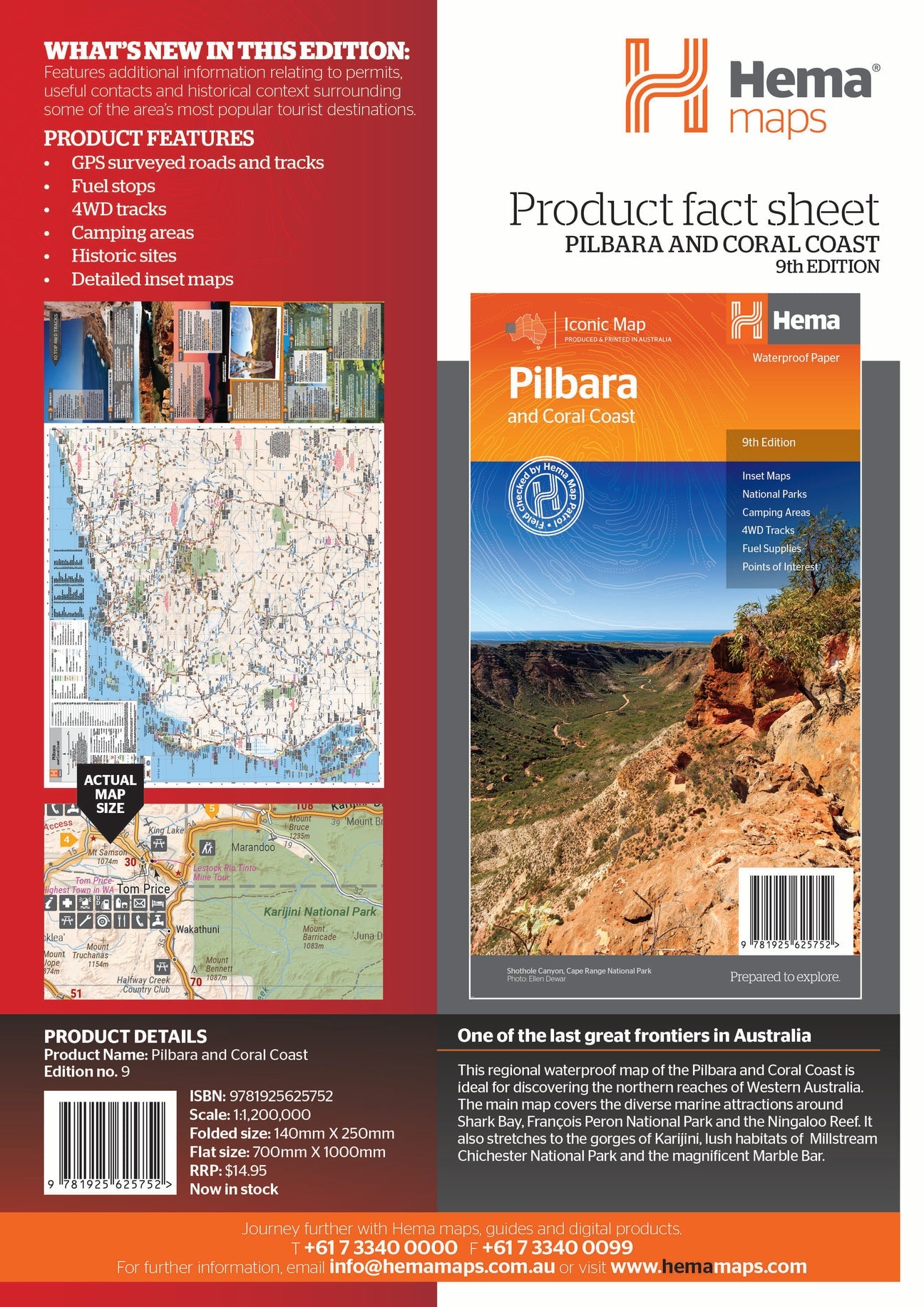
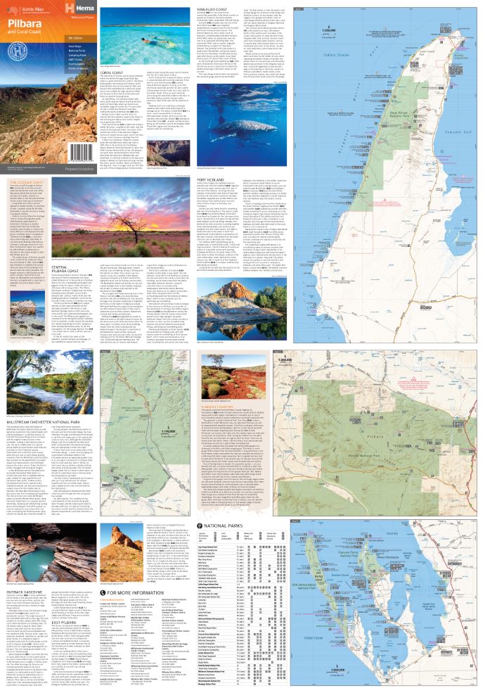
View full product detailsHema Pilbara & Coral Coast Map
$15.95
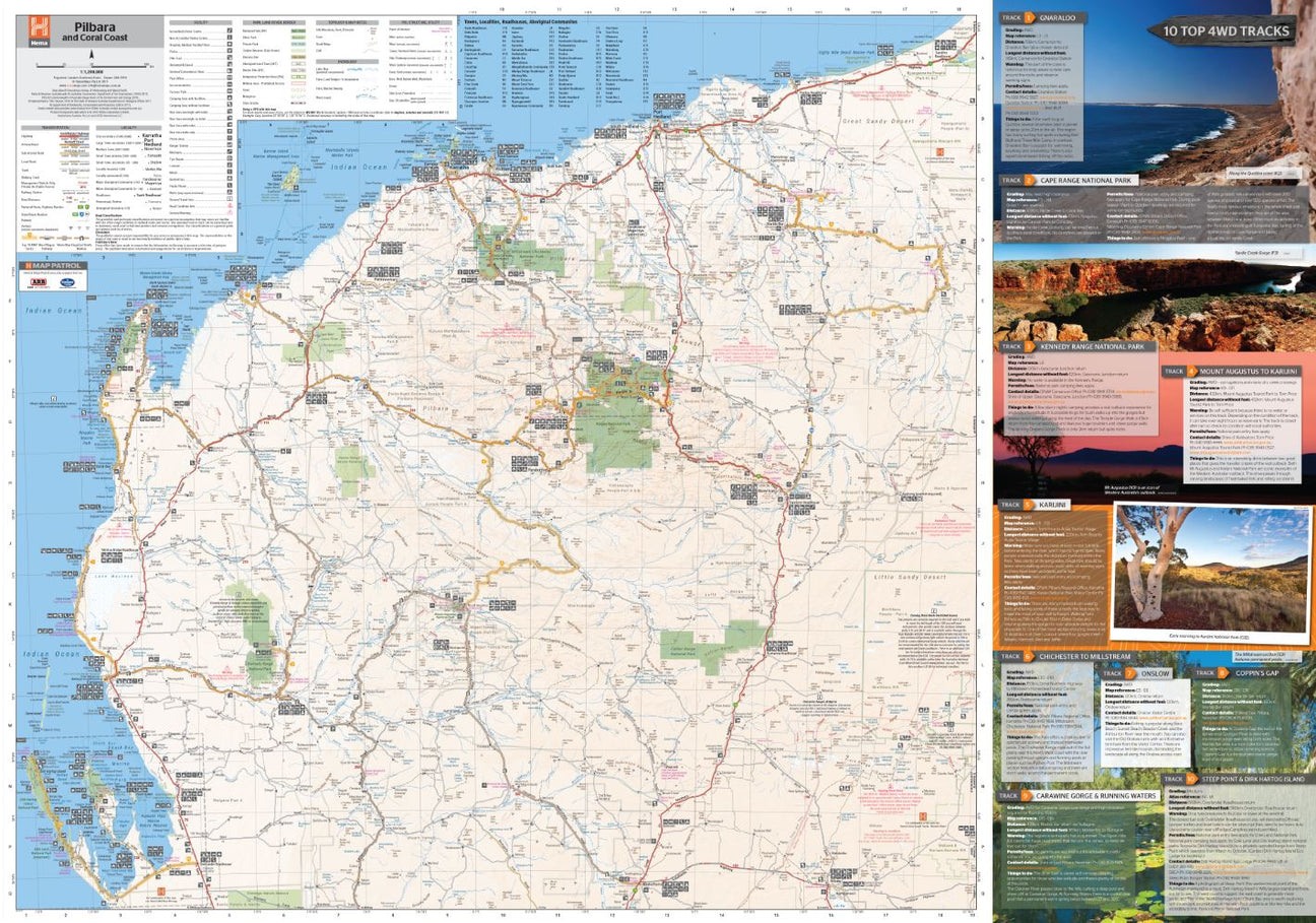
A regional map of the Pilbara and the Coral Coast (1:1,250,000), with inset maps and comprehensive travel information on specific regions on the opposite side. The inset...
View full product detailsFollow
(08) 9344 6252
Shop 9/58 Erindale Rd, Balcatta WA 6021
(We are in the same strip of shops as Altronics, Bridgestone, Down Range, Framers Point, NextBike, Pack-n-Send, Solomons Carpets, WA Florists)
Sign up to hear all the latest news, new products, gift ideas and what's going on at Go Camping & Overlanding!
P.S Don't worry we won't bombard you - ain't nobody got time for that!


